For example, let’s say that you’re looking at this lovely USGS map of the Coon Dive Draw Quadrangle in the Portal:
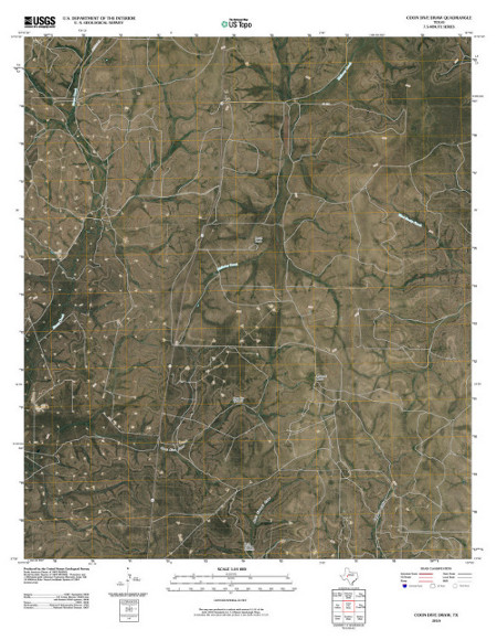
Even though you’re looking at a satellite image and there are some points that seem as though they could be landmarks, it might be a little hard to orient yourself. If you zoom in, there’s a little map of Texas underneath the image to help you with that:
Now you know that it’s in western Texas, roughly in the center. And maybe, if you’re very familiar with that area, you’re done! But if you’re starting to wonder how close it is to various cities in the area or what landmarks might be nearby, the red dot may leave something to be desired.
Or, perhaps you’re looking at a photo of the Egyptian Sphinx in the Digital Library and you’re trying to remember how close it is the the Great Pyramid. If location information has been added to the item, it will show up as a “Location” tab when you look at the item record: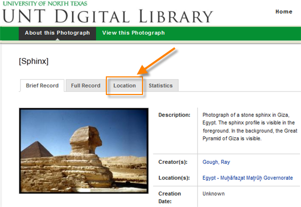
Clicking on the tab displays a static view from Google maps with a pinpoint or box representing the content of the item: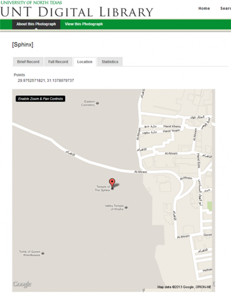
In this case, the metadata was tagged with a single-point location for the Sphinx, where the photograph was taken. To zoom into the map, you can click on the link in the upper-left corner of the map that says “Enable Zoom & Pan Controls”:
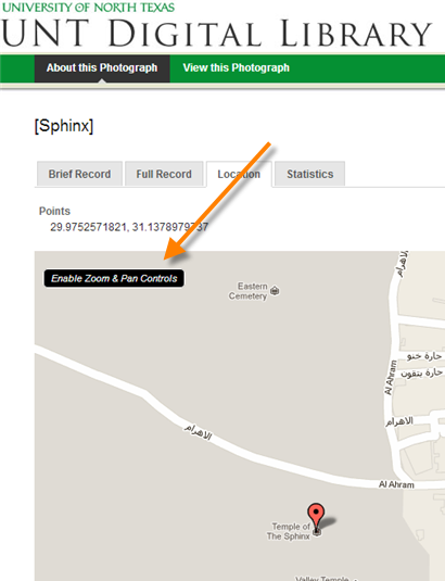
That will change the map from a static view to a map with the same controls as a Google map. (Note that it sometimes zooms out automatically to give you room to maneuver.) In this case, there is a box showing the area represented by the map Bachman Lake Park: Hike and Bike Trail; Google maps controls are at the upper-left and upper-right corners of the map (outlined in orange):
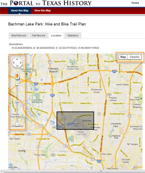
You can zoom and pan, see a street view (when available), or look at the satellite images.
Most of the time, a record will have a place point (e.g., where a photo was taken) or a place box (e.g., the area covered by a map); but in some cases, you might see both. For example, here’s a photograph of an entrance to a building in Chicago, Illinois: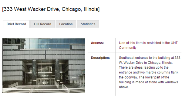
In this case, the image is specifically intended to represent a surrogate of the building and its architectural features; since the building is also large enough to take up an entire city block, the map includes a box surrounding the building and a point showing the location of the entrance where the photo was taken: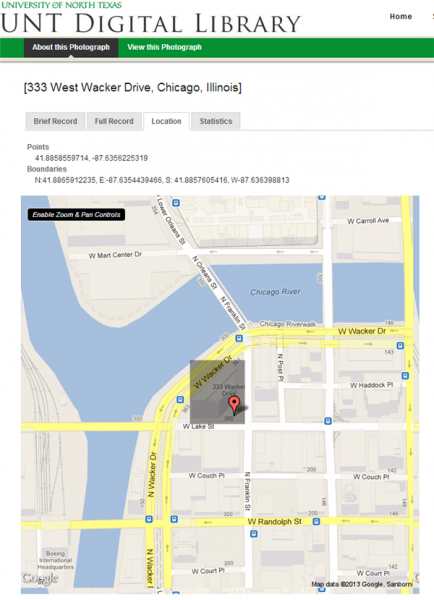
If we go back to the map of Coon Dive Draw Quadrangle, we can see the area bounded by the map, the center point, and some landmarks (such as the Alvie Cole Ranch Airport):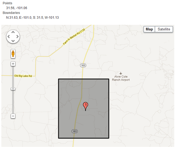
This feature is not entirely new. You may have seen it if you browsed the USGS topographic maps, which have had “Location” tabs for about two and a half years. This is because the maps were tagged with GIS data when they were digitized by USGS; however, until recently, only a static map was displayed rather than the Google map interface.
Also, it’s important to note that right now there are only a handful of items outside of the topographic map collection that have location information. But now that it is easier for metadata creators to enter place points and boxes into records, it will be exciting to see how many items have coordinates in the future! So be sure to check for the “Location” tab when you’re browsing around the digital collections…


Leave a Reply