

 With the 115th United States Congress in full swing, there has been a flurry of activity with a number of high-profile proposals and actions.
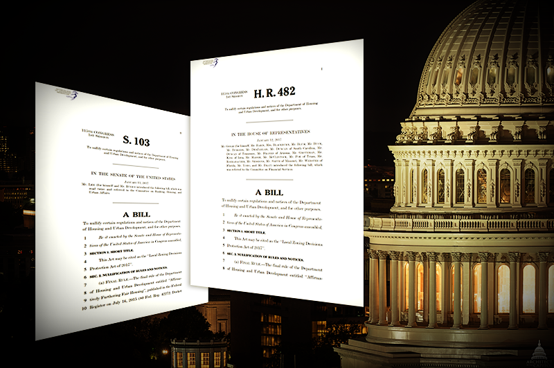
One proposed bill that has not received much media attention is H.R. 482 and its Senate companion S. 103, both of which are entitled “Local Zoning Decisions Protection Act of 2017.”
Note in particular this stipulation in the third section:
Ҥ 3 Prohibition on Use of Federal Funds
“Notwithstanding any other provision of law, no Federal funds may be used to design, build, maintain, utilize, or provide access to a Federal database of geospatial information on community racial disparities or disparities in access to affordable housing.”
In response to this proposed bill, the American Association of Geographers (AAG) released a statement, entitled “Creating and Preserving Actionable and Policy-Relevant Geography,” which includes the following remark:
“The wording [in H.R. 482] is clear and troubling. Not only would the creation of new Federal geospatial databases on racial disparities be prohibited, so too would access to existing geospatial information of this sort and the use of Federal funds from agencies such as the National Science Foundation to study such data.”
The ramifications of losing access to this type of data are too numerous to enumerate in a single, short piece, but these are just a few of the possible consequences:
- Problems distributing funds for minority assistance programs
- Skewed and inequitable redistricting of Congressional districts (i.e., gerrymandering)
- Adverse impacts on research efforts, development/redevelopment plans, and the drafting of policy
Any or all of these situations could result from a fundamental lack of information necessary to make informed decisions.
On a more technical note, not supporting centralized access to high-quality, nationwide datasets will likely not save money, because resources will either be redirected to (duplicate) creation of this data, or it will be cut entirely, thus forcing decisions to be made without adequate information. As Dr. Richard Ezike writes in a short op-ed entitled “An Attack on Open Government Data??”:
“I believe this is an attack on open data, and…a tacit disapproval to equal opportunity in housing and other means of living for all ethnicities” because “the more data [that is] available, the more ability agencies have to make sound decisions.”
Of course, this specific instance pertains to geospatial data, but the same concerns can be applied to any other discipline or data type—for example, the removal of climate change data from the White House’s Web site almost immediately after President Trump became president. However, there is some pushback: the state of California, for example, has pledged to continue providing data for free for public use.
Lastly, why is this important? Take a look at the National Equity Atlas chart of the week entitled “Why We Need Data Broken Down By Race/Ethnicity.” One reason is they give is this:
“Poverty looks different for White people than for people of color because people of color are significantly more likely to live in high-poverty neighborhoods even if they are not poor.”
Data alone will not solve socio-economic issues, but will go a long way towards making well-informed policy decisions.
Article by Douglas Burns, Government Information Systems Librarian at the Eagle Commons Library.
Illustration based on an image from USCapitol Flickr page.
